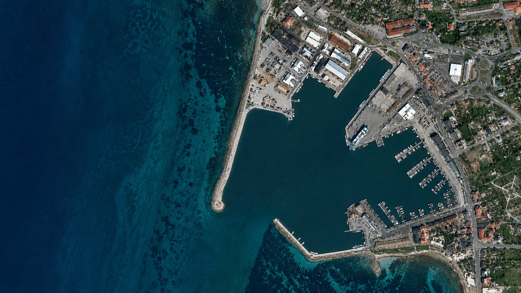
Satellite data,
commercialised.
Tage Arbeit.
Für ein einziges Objekt.
Die gewerbliche Immobilienrecherche ist gebrochen. Analysten verbringen den Großteil ihrer Zeit damit, Daten aus Dutzenden inkompatibler Quellen manuell zusammenzuführen — bevor die eigentliche Analyse überhaupt beginnt.
Nur für Datenextraktion — bevor ein einziger Quadratmeter bewertet wurde. Großteils manuelle Eingabe aus nicht-kompatiblen Quellen.
Quelle: DDee.ai / CRE Due Diligence Research, 2024Nicht in Analyse, nicht in Entscheidungen — in das manuelle Abtippen und Übertragen von Grundbuch, Handelsregister und Listings.
Quelle: Accenture / Dealius CRE Tech Report, 2024Anreise, Analystenzeit, Bericht — und das für jedes Objekt, das in die engere Wahl kommt. Oft mehrere Begehungen pro Deal.
Quelle: CRE Inspection Cost Studies (US/EU adjusted), 2024Hochauflösende Echtzeit-Aufnahmen (VHR, < 1 m) kosten auf Abruf $40–60/km². Für ein 10-km²-Suchgebiet: bis zu $600 — pro Anfrage.
Quelle: SkyWatch / OnGeo Intelligence Pricing Guide, 2025Hangneigung, Gefälle, Mulden — ohne Höhenmodell ist jede Bebauungseinschätzung blind. Manuelle Photogrammetrie: 2–4 h pro Objekt.
Exakte Gebäudefootprints existieren selten in maschinenlesbarer Form. Analoge Katasterdaten müssen digitalisiert und georeferenziert werden.
Ist die Halle aktiv genutzt? Leer? Saisonal? Ohne Thermaldaten oder regelmäßige Luftbilder: unbekannt — bis zur teuren Begehung.
Grundbuch, Handelsregister, GmbH-Verflechtungen, Treuhandstrukturen — 32+ Quellen, die kein einziges System vollständig abbildet.
Satellitendaten.
Ausgewertet.
€210.000
geretteter Wert.
In zwei Wochen.
Every industry runs on information
satellites already have.
Satellites produce more data every day than humanity has ever generated in its entire history combined. Almost none of it is analysed — it sits in archive buckets, raw and unused, because turning orbital imagery into actionable intelligence requires deep technical infrastructure most organisations cannot build.
layrd's model: build that infrastructure once, apply it to a vertical where data asymmetry creates real commercial advantage, and own the intelligence layer. rekon is the proof of concept. Commercial real estate was the first vertical. It won't be the last.
rekon — property intelligence,
from orbit.
One search. Every matching property on Earth. Owner name. Contact details. Ten seconds.
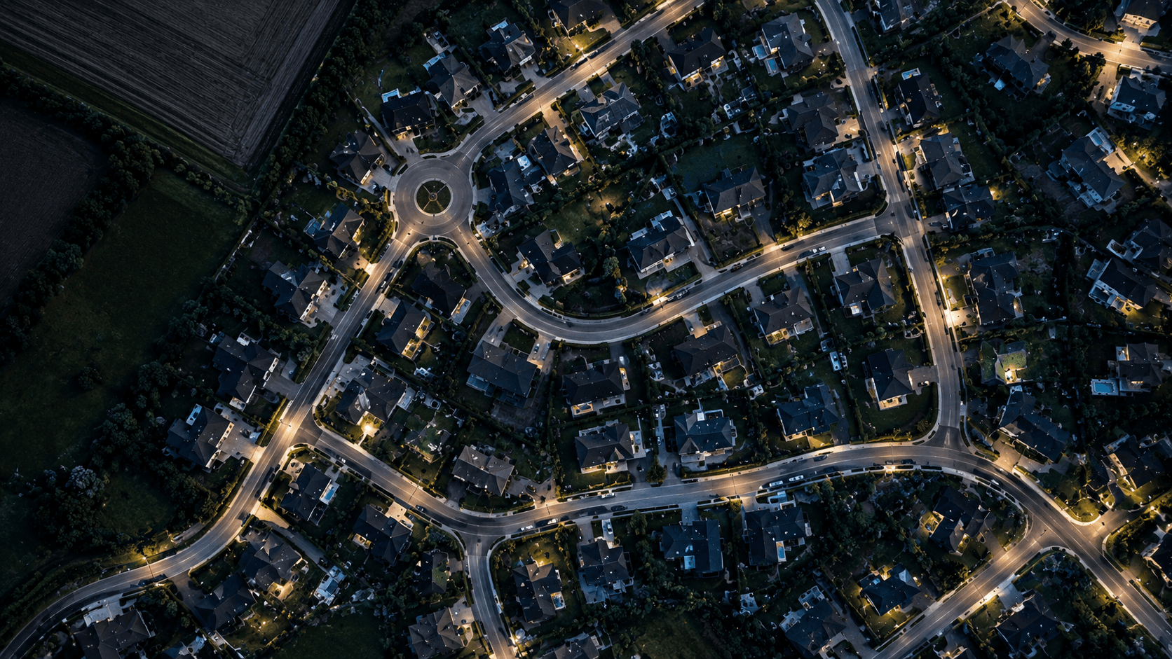
Describe any property in plain language. rekon cross-references satellite imagery to surface every matching object within a given radius — identified purely from orbit.
From satellite footprint to owner name, legal structure, and direct contact — automatically, across land registries, commercial registers, and public sources.
Elevation analysis to 10 m accuracy via COPERNICUS GLO-30. Slope, gradient, plateau identification — full remote terrain assessment without a site visit.
Heat signatures from Sentinel-2 SWIR bands reveal building activity, operational intensity, and usage patterns — even when no photos exist.
All layers feed into a multi-source AI model. Output: terrain score, activity index, build density, and an overall property KI-Score out of 10.
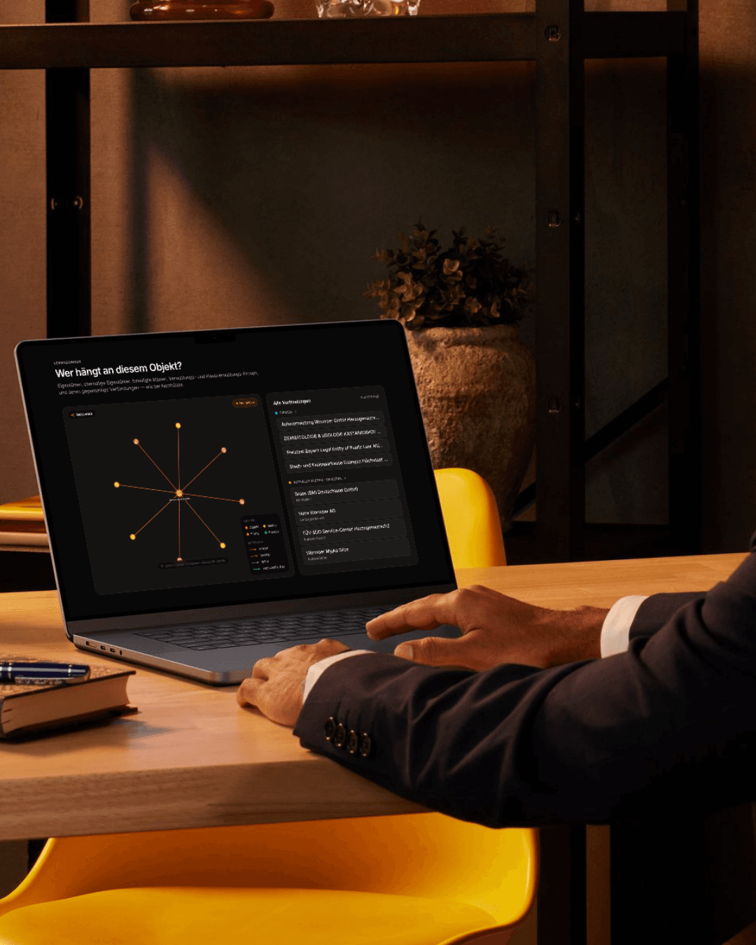
Every linked entity surfaces automatically — GmbH structures, beneficial owners, connected directors. One address, the full network.
One search. €210,000.
A commercial real estate team in Hamburg had spent three days searching for available industrial halls in the eastern districts. Target: 1,000 m² or above, right logistics access, identifiable owner.
Three analysts. Dozens of broker calls. Nothing.
They ran the same brief through rekon's Active Search: “1.000 m² Halle · Hamburg Ost · +8 km Radius”. rekon returned four matches in 9.8 seconds — satellite-identified buildings, coordinates, footprint size, and — critically — the owner's name and direct phone number.
One call. The owner wasn't on any market. The deal closed at €210,000.
rekon found in 10 seconds what three analysts couldn't find in three days.
rekon currently has one paying enterprise customer in commercial real estate. Research time per address has dropped from ~4 hours to under 10 seconds. 40+ analyst hours saved per week.
A large market.
An even larger platform play.
Quellen: Precedence Research · Market Data Forecast · Intel Market Research · Market Research Future · alle 2025
Quellen: Precedence Research (Satellite CAGR 16.3%) · Intel Market Research (CRE CAGR 15.6%) · 2025
Top-300 deutsche CRE-Firmen × Ø €83k/Jahr
3–4 Vertikale: CRE · Agrar · Infrastruktur · Energie
Typische Schwelle für SaaS Series A im DACH-Markt
The data is already there
Sentinel, Copernicus, Landsat — free, public, globally covering. The moat isn't the satellite. It's the pipeline that turns raw pixels into a structured intelligence product.
First-mover in DACH
No direct German-language competitor operates a satellite-derived property intelligence tool at production quality. The window is open.
Vertical playbook
rekon is the template. The same satellite stack, AI pipeline, and aggregation layer can be pointed at agriculture, insurance, or infrastructure — any market where ground-truth data is slow, expensive, or inaccessible.
€1,000,000
Seed Round · Max 20 %
We are raising €1M across a small group of strategic investors. This is the first and only round before revenue targets justify a Series A.
Expand rekon's data pipeline, add two new satellite layers, and begin architecture for vertical #2.
First dedicated sales hire, outbound CRE pipeline, pilot partnerships with two top-10 German CRE firms.
Entity structure, data licensing, IP protection, team growth to 5 FTEs.